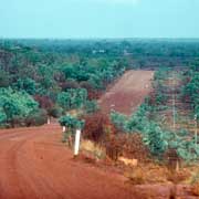
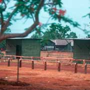
Photos of the Beswick region, Northern Territory, Australia

Beswick region, Northern Territory
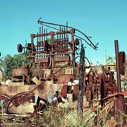
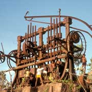
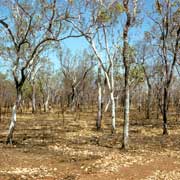
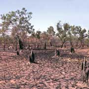
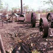
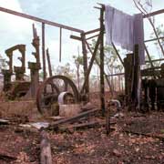
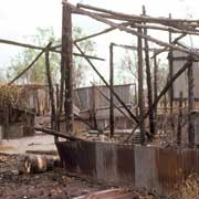
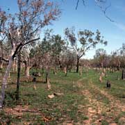
These are the traditional lands of the Jawoyn people, the same people who own Nitmiluk (Katherine Gorge) to the east of Katherine and stretching towards southern Arnhem Land. In the latter part of the 19th century explorers had passed through the region, followed in the 1870s by pastoralists and the crews constructing the Overland Telegraph Line. In 1913 rich reef tin deposits were discovered at Maranboy. The government provided a battery to crush the ore and it became one of the greatest tin mines in Australia. Life was tough here and miners had to endure food shortages and fever: at one stage 90 percent of the miners were stricken down. Tin mining finished in 1946 and Maranboy was abandoned; its ruins can still be seen, including the battery and ore crusher.
you may then send it as a postcard if you wish.
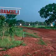
During the war Katherine had became a major army base and many people had moved to the region to work as labourers or drovers in the cattle stations. A ration station opened at Maranboy after tin mining ceased, but water shortages forced its removal first to a spot along the King River; in 1948 it was decided to move east to a place called Tandangal (Dangdangjal). The Aboriginal people didn't like to settle there because it was a sacred site, and so in 1951 the station was relocated again, on the Beswick Creek, not far from there. The settlement was known as Beswick Creek and renamed Bamyili in 1965. The name officially changed to Barunga in 1984.
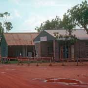
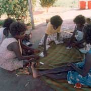
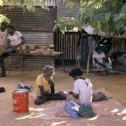
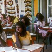
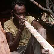
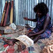
Barunga is now a community of around 250 people, about 80 kilometres on a sealed road east of Katherine. Although this is Jawoyn country, its community council also represents other traditional language groups: Dalabon (or Ngalkbon), Mayali and Rembarrnga. Most people however now speak Kriol, an English-based creole, but structured in a way that is typical of Aboriginal languages: it is recognised as a language in its own right and for years the local school ran a bilingual program in Kriol and English. Barunga hosts the very popular annual Barunga Cultural and Sporting Festival and it is at this festival in June 1988 that the "Barunga Statement", written on bark, was presented to the then Prime Minister Bob Hawke. It called for Aboriginal self-management, a national system of land rights, compensation for loss of lands, respect for Aboriginal identity, an end to discrimination, and the granting of full civil, economic, social and cultural rights.
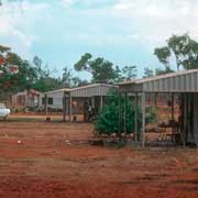
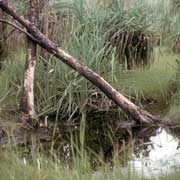
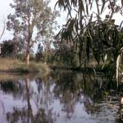
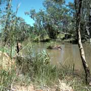
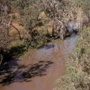
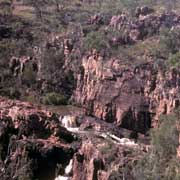
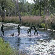
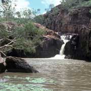
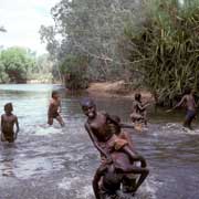
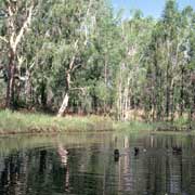
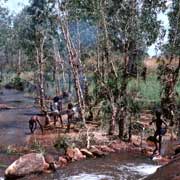
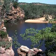
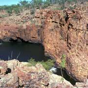
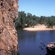
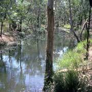
About 25 kilometres further east, on the road that continues to Mainoru station and the small communities of Bulman and Weemol in south Arnhem Land, is Beswick Aboriginal community. Close by is Beswick Falls, a beautiful spot on the Waterhouse River. There are numerous great swimming holes in the region like Dartluk Falls, between Barunga and Beswick, along an unmarked rough four-wheel drive track. Barunga itself has permanent waterholes, like Ricky Pool, a constantly flowing spring and "Old Pump", an idyllic waterhole on Beswick Creek. Further west are waterholes at Maranboy, the King River and there is also Manyallaluk, formerly Eva Valley Station, now a small Aboriginal community with a strong cultural life. All these places however are not open to tourism: it is all Aboriginal land and permits are required.