Photos of Cooktown to Cairns, Far North Queensland Coast, Australia


Cooktown to Cairns, Far North Queensland Coast
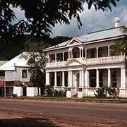
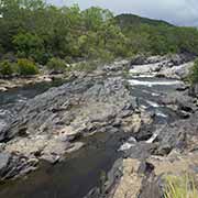
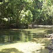
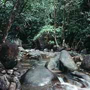
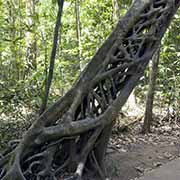
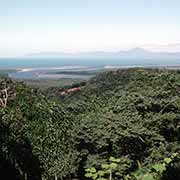
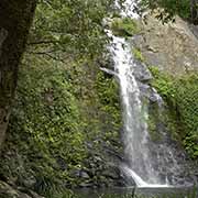
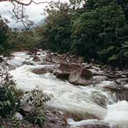
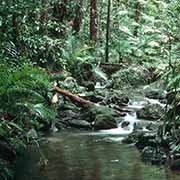
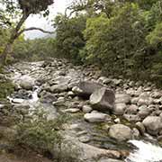
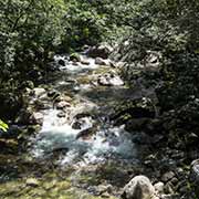
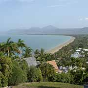
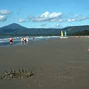
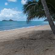
North of the city of Cairns, in Queensland’s tropical north, is a beautiful region of unspoiled beaches, fast-flowing rivers and rain forests. The Captain Cook Highway offers great views of Trinity Bay between Cairns and Port Douglas, 60 kilometres north. The fashionable resort town of Port Douglas was already a busy port in 1880 and serviced the gold and tin mines and the sugar fields in the region. However, when the railway reached Cairns, its significance declined until it developed into today’s international resort. The sugar town of Mossman, further north, was founded in the 1890s. Nearby, the Mossman River flows through Mossman Gorge, easily accessible and a wonderful place for a picnic, a swim and walks through the forest.
you may then send it as a postcard if you wish.
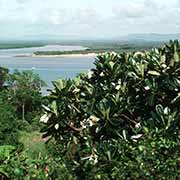
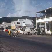
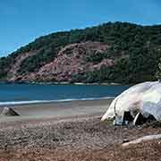
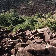
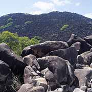
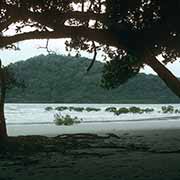
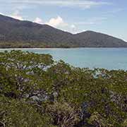
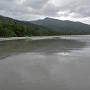
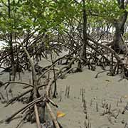
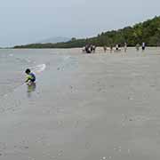
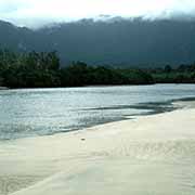
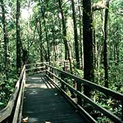
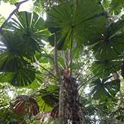
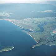
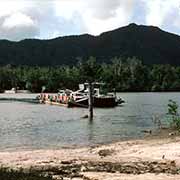
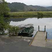
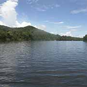
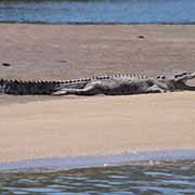
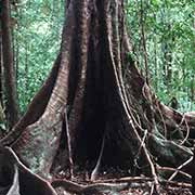
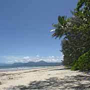

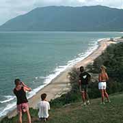
Further north, on the way to the Daintree region, is the village of Wonga, with a seemingly endless beach leading to the mouth of the Daintree River. Cape Kimberley and Snapper Island are near here. On the river with the same name, the village of Daintree is the gateway to Daintree National Park; on the other side of the river, a car ferry takes you across. The bitumen road goes as far as Cape Tribulation, “where the rainforest meets the reef”. On the way, you cross Myall Creek, flowing past the wide sandflats of South Myall Beach into the sea. Beyond Cape Tribulation, the road becomes a dirt track: protests against developing this area with its last stands of tropical rain forests resulted in its preservation as a United Nations Heritage Area. It is possible to continue by four-wheel-drive along the Bloomfield Track, a steep winding road to Cooktown. On the way is Kalkajaka or Black Mountain, an enormous heap of loose granite, about 470 metres high, stained black by algae, 30 kilometres south of Cooktown and Walker Bay, just south of the town, in Mount Cook National Park.
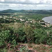
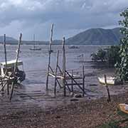
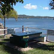
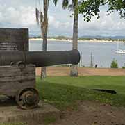
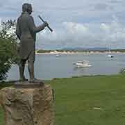
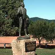
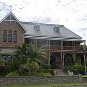
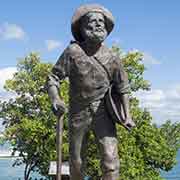
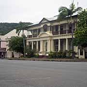
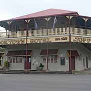
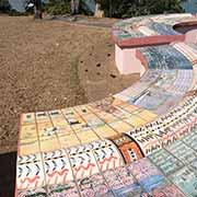
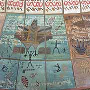
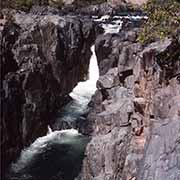
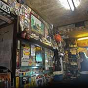
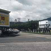
Cooktown is the site where Captain Cook ran on a reef with his ship “Endeavour” in 1770 and had to beach it to get it repaired. He and his crew spent seven weeks here while they fixed the stricken vessel. A town came into existence here in the early 1870s to serve as a port for the goldfields at Palmer River and was first known as Cook’s Town. The goldfields declined, but the town remained important as the first port of call for mail steamers sailing to India and as a trading port with the Pacific Islands. Cooktown now caters for tourists visiting Cape York and the scenery on the way to the Daintree.