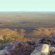
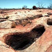
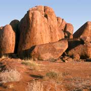
Photos of Walungurru (Kintore) region - The Territory's Far West, Australia


Walungurru (Kintore) region - The Territory's Far West
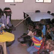
As recently as 1957 a group of Aboriginal people, who never had had any contact with the "modern world" were discovered near Lake Mackay, on the border between Western Australia and the Northern Territory. Later expeditions in 1963 into the desert found more people still living a traditional life, unchanged for thousands of years. These were all Pintubi (or Bindibu) people, the last Aborigines to live this life: they were taken to Papunya community, given clothes and had to adapt to a way of life totally alien to them. As all traditional Aboriginal people are intimately tied to the land of their ancestors and "dreaming places", sites of ceremonial significance, they longed to get back.
you may then send it as a postcard if you wish.
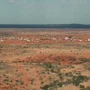
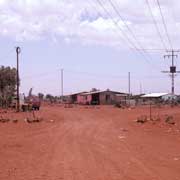

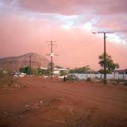
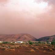
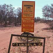
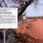
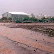
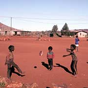
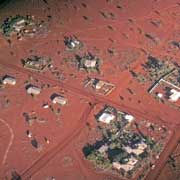
In 1981 the Pintubi moved back and the small community of Kintore or Walungurru was founded, 530 kilometres west of Alice Springs, at the base of Pulikatjara, two culturally important hills. The community now has a population of about 450, although about 60 people have decided to live in small "outstations" or "Homeland Centres", their real clan areas. The main community is administered by its Council. There is a school, a women's centre, a clinic, a store, an art centre and an airstrip provides regular flights to Alice Springs.
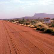
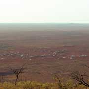
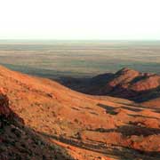
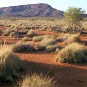
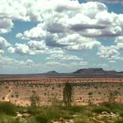
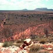
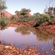
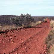
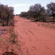
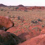
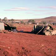
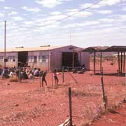
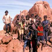
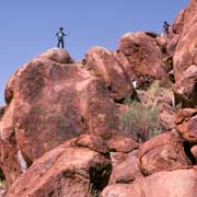
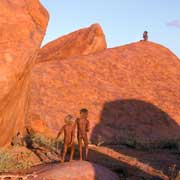
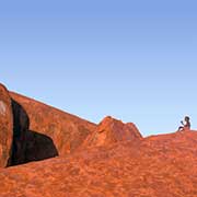
There are seven outstations, serviced by the council, with populations between 4 and 15. One of these, Ngutjul, is situated next to a dramatic set of red hills, a site of ceremonial significance and a good illustration of the label "The Red Centre". A family of 12 lives nearby. The road continues south west from Sandy Blight Junction near Walungurru to cross into Western Australia, linking up with the "Gunbarrel Highway", which used to be the first link between Western Australia and Central Australia. The rough red gravel road, after about 300 kilometres, then doubles back into the Territory to Kaltukatjara (Docker River) Aboriginal Community and on to Uluru (Ayers Rock).