Photos of Tasmania, Australia's island State


Tasmania, Australia's island State
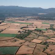
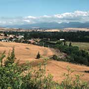
Approximately 240 kilometres south of the mainland across Bass Strait is the island state of Tasmania, accounting for less than 1% of Australia's total land area. The island is 364 kilometres long from north to south and 306 kilometres from west to east with an area of 62,409 km². The state has a population of around 500,000, of whom almost half reside in greater Hobart. Tasmania has a temperate climate; sometimes called the "Apple Isle" it is well suited for agriculture and there are large farms.
you may then send it as a postcard if you wish.
It is believed that the island was joined to the mainland of Australia until the end of the last glacial period approximately 10,000 years ago when rising sea levels cut it off. At that time Aboriginal people had already been there for at least 25,000 years and remained isolated until the Europeans arrived. The Dutch explorer Abel Tasman made the first reported European sighting of the island on 24 November 1642. He named it Anthony van Diemen's Land after his sponsor, the Governor of the Dutch East Indies. The name was later shortened to Van Diemen's Land by the British and officially renamed in honour of its first European discoverer on 1 January 1856.
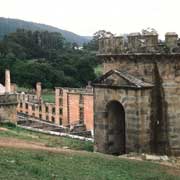
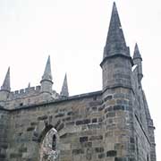
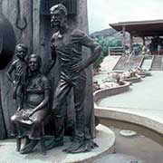
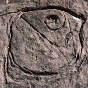
In late 18th century French and British expeditions made landings on Tasmania and the first British settlement was made in 1803 on the Derwent estuary to prevent the French claiming the island. A year later another settlement was made at the site that would grow into Hobart, Tasmania's capital. Penal colonies were set up at Port Arthur in the southeast and Macquarie Harbour on the West Coast. In the fifty years from 1803 to 1853 around 75,000 convicts were transported to Tasmania. The effect of the European conquest of their lands on the Aboriginal people was catastrophic. In early 19th century, the indigenous population belonged to nine major ethnic groups with a population estimated at between 5,000 and 10,000 people. Through the introduction of infectious diseases to which they had no immunity, war and persecution the population had dwindled to 300 by 1833. Almost all of the indigenous population was then relocated to Flinders Island, a bleak island in Bass Strait by un untrained missionary, George Augustus Robinson. A woman named Truganini (1812–76) is generally recognised as the last full-blooded Tasmanian Aborigine although it is now believed that the last survivor was another woman, Fanny Cochrane Smith, who died in 1905. But the mixed-blood descendants of the first Tasmanians have asserted themselves as the modern custodians of a lost world.
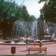
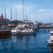
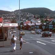
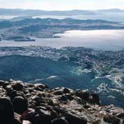
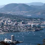
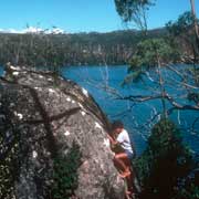
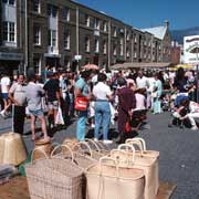
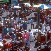
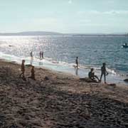
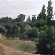
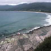
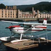
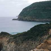
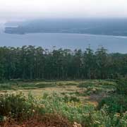
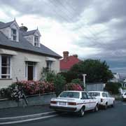
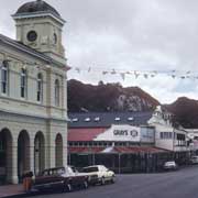
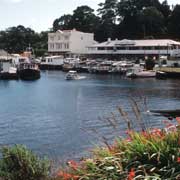
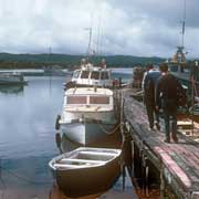
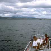
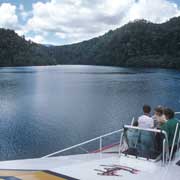
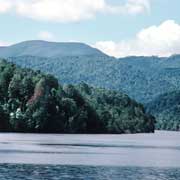
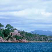
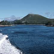
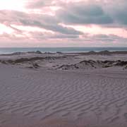
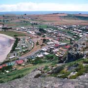
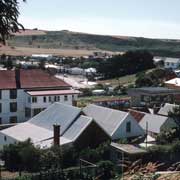
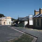
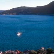
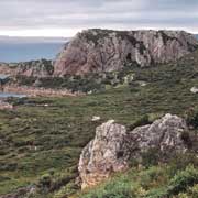
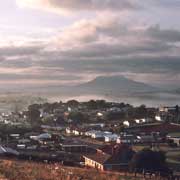
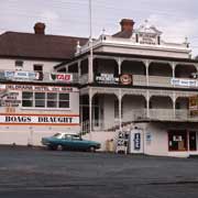
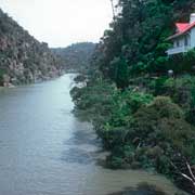
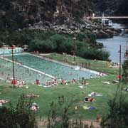
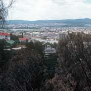
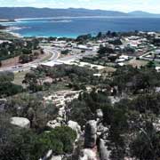
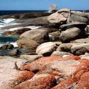
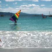
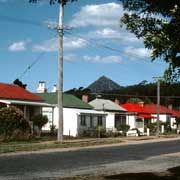
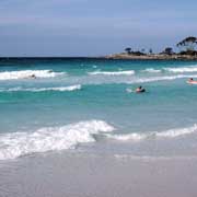
Yet in spite of its grim past, it is a place with many beauty spots. The rugged northern coast has places like Henty Dunes Rocky Cape, a National Park near Stanley, classified by the National Trust as an historic village. Further west is Devonport, where the vehicle-and passenger ferries from the mainlands dock. The interior has great places for hiking, as around Deloraine, a town founded in 1831, with a grand hotel, that has been in business since 1848. It is about 50 kilometres west of Launceston, Tasmania's second city. On the east coast is Bicheno, where from 1803 sealers and whalers used what became known as Waub's Harbour; in 1854 it became a coal mining port, but declined soon after; it is now a port for crayfish and abalone fishing boats and a place to enjoy the coastline with its blowholes and great beach. There is also great hiking, there are mountains to explore, beautiful beaches and one of the last examples of rain forest, now a protected World Heritage Area, in the Gordon River region, in the south west of the state. And there is Port Arthur, a grim reminder of the convict days, a penal settlement from 1830 to 1877. The state's capital Hobart now straddles the mouth of the Derwent River and its dock area has great character. Not far to the north of the capital is the historic town of Richmond, with its freestone bridge, Australia's oldest, built by convict labour between 1823 and 1825. Tasmania is a truly special place.