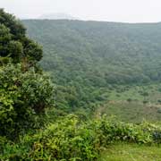
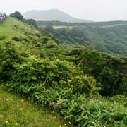
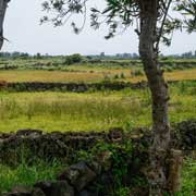
Photos of Eastern Jeju island, Jeju Province, Korea

Eastern Jeju island, Jeju Province
Jeju-do, Jeju island, is the largest island of Korea and its southernmost point; since the 1st of July 2006, it has been a Special Self-Governing Province of South Korea. It has always been a special place with its own culture and language. Because it is mutually unintelligible with the Korean dialects on the mainland, it has been recognised as a distinct language, locally and by UNESCO.
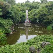
you may then send it as a postcard if you wish.
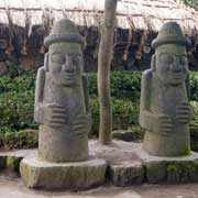
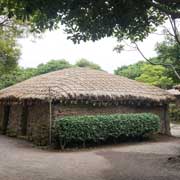
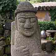
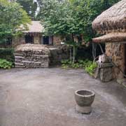
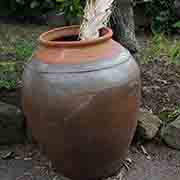
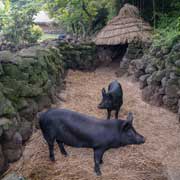
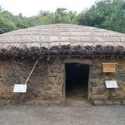
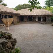
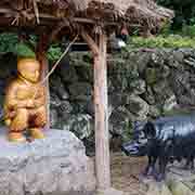

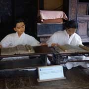
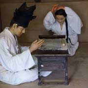
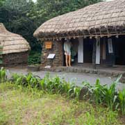
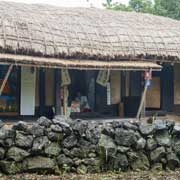
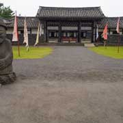
Culturally too, Jeju is different from mainland Korea. It can be observed in several sites, like Seongeup Folk Village at the foot of Mount Halla and nearby Jeju Folk Village Museum, just outside Pyoseon on the island’s southeast coast. These “Folk villages” are open-air museums where traditional rock-walled and thatched village houses from the 1890s have been meticulously restored. One of the typical features of the old Jeju villages is the Harubang (stone grandfather) statues, placed outside gates for protection against evil spirits. Traditionally, the phallic-shaped Tol-Harubang, also once called “Beoksumeori”, are gods offering both protection and fertility.
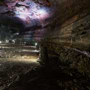
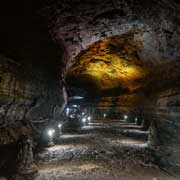
Jeju is a volcanic island; although dormant, 360 “parasitic cones” (secondary volcanoes) have been found. The Sangumburi crater, the second-largest, about 650 metres wide, 100 metres deep, and 2,070 metres in circumference, can be easily visited in the centre of eastern Jeju. Manjanggul, the world’s most comprehensive system of lava tubes, is situated in northeastern Jeju. These were formed by flowing lava which once moved beneath its hardened surface; when the volcanic eruption had ceased, and the lava flow drained away, it left a long, cave-like channel, 13.4 kilometres long, with a height from 2 to 30 metres and a width of 2 to 23 metres. Part of it is illuminated and can be walked for a considerable distance.