Photos of Southern Lesotho


Southern Lesotho
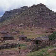
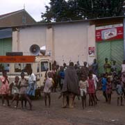
The southernmost district in Lesotho is Quthing. Its main town, Quthing, was established in 1877, abandoned in the Basuto Gun War of 1880, and then rebuilt at its present site. It has a population of approximately 15,000 and is also called Moyeni.
you may then send it as a postcard if you wish.
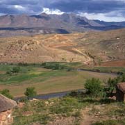
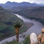
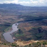
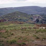
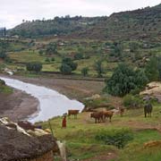
The Senqu (or Orange) river flows through the district of Quthing, past Mount Moorosi, the stronghold of Chief Moorosi, the chief of the Baphuti clan, who revolted against Basutoland being annexed to the Cape Colony in 1871. Mount Moorosi was besieged by the British in 1879 and overrun: the Baphuti were massacred, Moorosi killed and his head taken as a trophy.
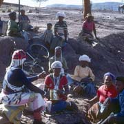
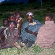
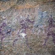
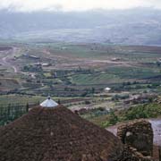
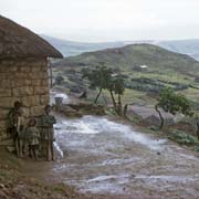
To the southeast of the town of Quthing is the friendly mountain village of Qomoqomong. There are rock paintings here, made by the San people (Bushmen) who still lived here in the 18th Century before being replaced by the Sotho speaking clans. During King Moshoeshoe’s reign, he allocated this part of the country mainly to the Bathepu people (a Xhosa clan in South Africa), fleeing the Zulu King Shaka. A minority of Xhosa speakers (18,000) still exists in the Quthing District. As in other Bantu groups, there are Sangoma, traditional healers, diviners or “witch doctors” who still may be encountered, wearing their distinctive regalia.