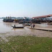
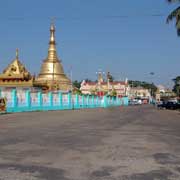
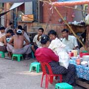
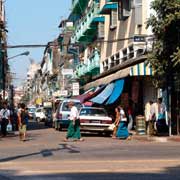
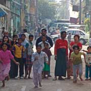
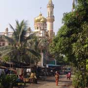
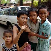
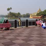
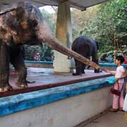
Photos of Yangon, the Commercial Capital, Myanmar

Yangon, the Commercial Capital
King Alaungpaya of the Konbaung dynasty in 1755 conquered and chose to enlarge a small fishing village across the river from the port city of Thanlyin. The village was called Dagon and was founded by the Mon in the early 11th century near the great Shwedagon Pagoda. This village was renamed Yangon, which means "End of Strife" or "enemies run out of" and may refer to the Mon that were driven out.
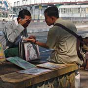
you may then send it as a postcard if you wish.
In the First Anglo-Burmese War (1824-1826) the British captured the town but didn't keep it. In the Second Anglo-Burmese War of 1852 the British seized all of Lower Burma including Yangon and made the town into the commercial and political centre of British Burma. They called it "Rangoon", which probably was the English pronunciation of "Yangon" in the Rakhine dialect of Burmese (Arakanese), "Rongun".
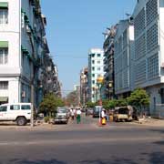
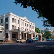
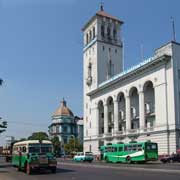
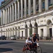
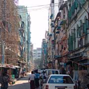
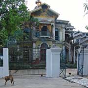
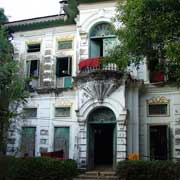
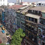
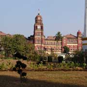
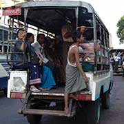
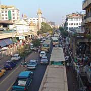
The British constructed a city on a grid plan with spacious parks and lakes, "the garden city of the east". As Burma was considered a part of British India, many Indians were imported and just before the Second World War about 55% of Ragoon's population of half a million was Indian or South Asian; only a third was Burman. The Burmese independence movement began here, with nation-wide strikes against British rule in 1920, 1936 and 1938, all starting in the city. During the war it was occupied by the Japanese and suffered heavy damage. It was liberated by the Allies in May 1945.
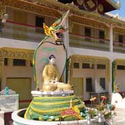
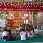
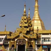
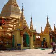
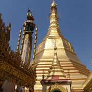
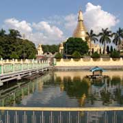
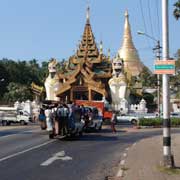
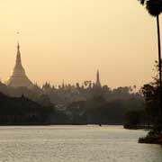
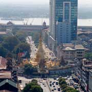
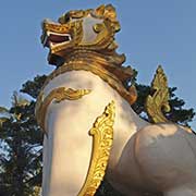
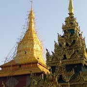
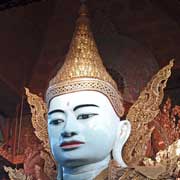
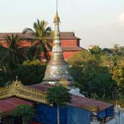
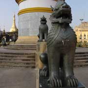
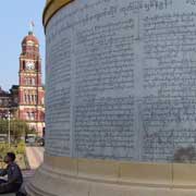
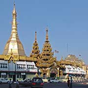
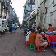
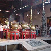
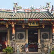
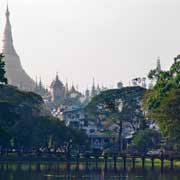
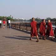
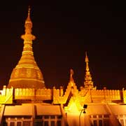
After independence many colonial English names of streets and parks were changed to Burmese names, a process that was concluded when the military junta changed "Rangoon" to "Yangon" in 1989. The city has grown explosively and now has between 4.5 and 5.5 million people. It lost its status as the nation's capital on 27 March 2006 when the military junta moved the government to a newly built city, Naypyidaw, 320 kilometres north of Yangon. But Yangon remains the commercial capital and a city with a lot to offer, first of all the Shwedagon pagoda and Sule Paya, a Mon-style chedi (pagoda), octagonal in shape and 44 metres in height, standing at the crossing of Mahabandula Road, Myanmar's main thoroughfare, and Sule Pagoda Street, a result of the layout the British constructed. It has been a rallying point for pro-democracy demonstrations on a number of occasions, as in 2007 when, at what has been called the the Saffron Revolution, hundreds of monks, who had gathered to pray around the pagoda, were brutally beaten by government forces.