Photos of Nepal west of Kathmandu


West of Kathmandu
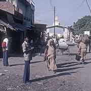
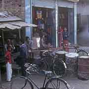
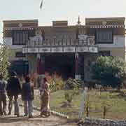
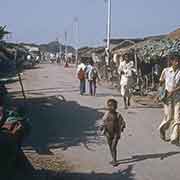
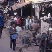
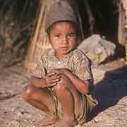
The most used transit point between India and Nepal is from the Indian town of Sonauli in Uttar Pradesh to Siddharthanagar, formerly known as Bhairahawa or Bhairawa, on the Terai plains of western Nepal, 265 kilometres west of Kathmandu. From there, it is only 25 kilometres to Lumbini, the birthplace of Siddhartha Gautama, the future Buddha, born there in 563 BCE. There is a Buddhist monastery there.
you may then send it as a postcard if you wish.
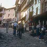
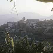
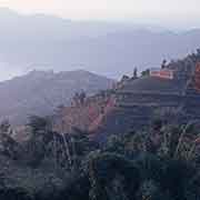
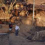
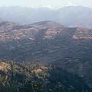
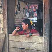
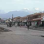
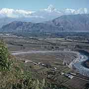
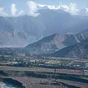
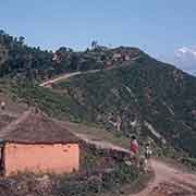
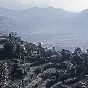
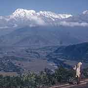
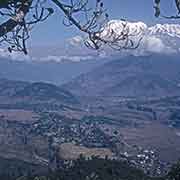
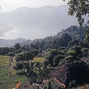
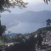
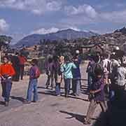
From there it is about 75 kilometres north to Tansen, in the “hills” of the western part of Nepal; and 130 kilometres to the northeast is the city of Pokhara, Nepal’s second-largest city. There are great views here: from the road between Pokhara and the village of Sarangkot to Lake Phewa. From there, the Dhaulagiri massif and the peak of Macchapucchare (“Fishtail Mountain”) in the Annapurna massif can be seen as well.
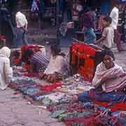
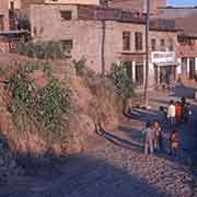
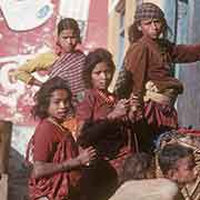
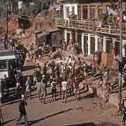
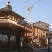
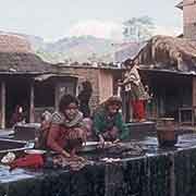
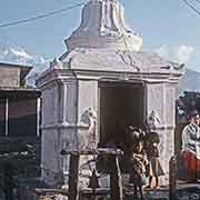
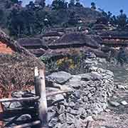
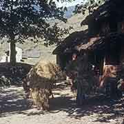
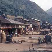
From Pokhara, it is 200 kilometres east towards Kathmandu, passing many towns and villages, such as Mugling, Darechok, and Khanikhola.