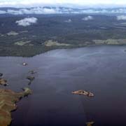
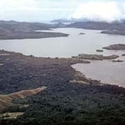
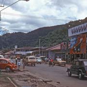
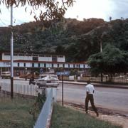
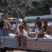
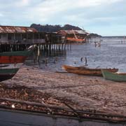
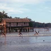
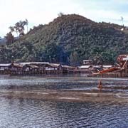
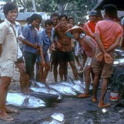
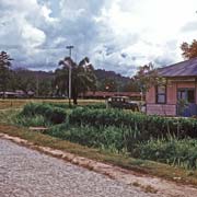
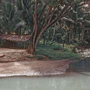
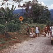
Photos of Jayapura, the Papuan capital, West-Papua

Jayapura (Port Numbai), the Papuan capital
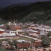
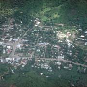
The capital of West-Papua is a town of about 200,000 people situated on a bay, named Teluk Yos Sudarso for the Indonesian admiral, killed in 1962 during a naval engagement with the Dutch. The town was founded on 7 March 1910, close to the border with then German New Guinea and named Hollandia.
you may then send it as a postcard if you wish.
On 21 April 1944 allied forces drove out the Japanese at Hamadi beach and General Douglas MacArthur made Hollandia his headquarters until he went to retake the Philippines. After the handover of Indonesia by the Dutch, Hollandia became more important as the capital of Netherlands New Guinea.
On 1 October 1962 the territory was handed over to the United Nations and the town became known by its Indonesian name Kota Baru (New Town) and this name was retained when Indonesia took control on 1 May 1963. A year later it was renamed Sukarnapura, after the Indonesian President Sukarno; on 10 January 1967 Sukarno was stripped of his presidential title and late 1968 Sukarnapura was renamed Jayapura, "city of victory". Ethnic Papuans often refer to it as Port Numbai, the name of the area before migrants came.
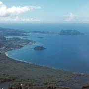
There is a campus of Cenderawasih University in Abepura and there are various places to visit in the surroundings, a region of great beauty with nice beaches and fine views.