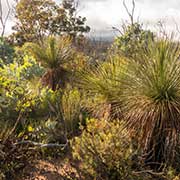
Photos of Stirling Range and Porongurup National Park, Western Australia

Stirling Range and Porongurup National Park
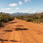
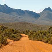
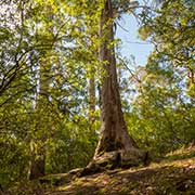
Stirling Range National Park, about 50 kilometres north of Albany, is the only significant mountain range in the southern area of Western Australia. The Stirling Ranges, named for Western Australia’s first governor, James Stirling, is a 65-kilometre-long row of mountains with fine scenery along the road and good bushwalking possibilities.
you may then send it as a postcard if you wish.
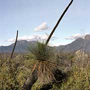
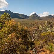
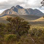
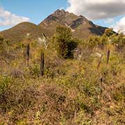
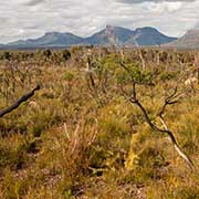
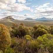
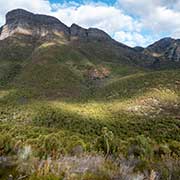
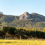
The Aboriginal name for the Stirling range, Koi Kyenunu-ruff, means ‘mist rolling around the mountains’; the park’s highest peak, 1,073-metres high Bluff Knoll, or Bular Mial, is a place of cultural significance for the Minang and Goreng, indigenous Noongar people of the area.
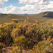
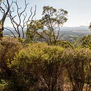
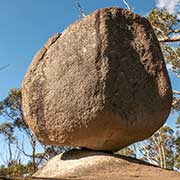
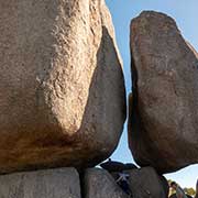
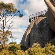
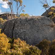
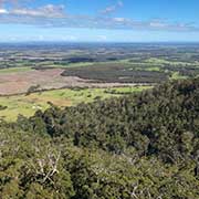
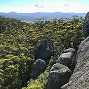
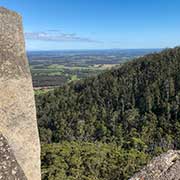
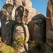
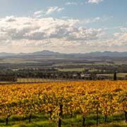
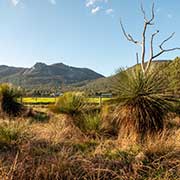
South of the Stirling Range is Porongurup National Park, which includes the Castle Rock trail with its balancing rock and the Granite Skywalk, which offers spectacular views of the Stirling Range. There are also many boutique, family-owned vineyards and wineries here, like Castle Rock Estate on the eastern slopes of the Porongurup Range.