Photos of around Kununurra, gateway to the East Kimberley, Australia


Around Kununurra, gateway to the East Kimberley
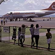
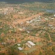
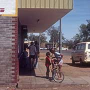
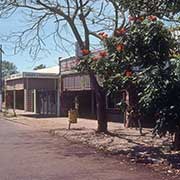
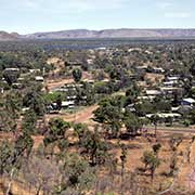
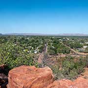
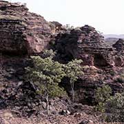
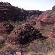
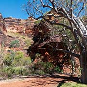
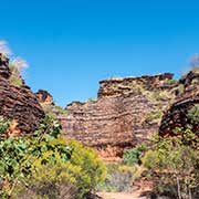
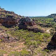
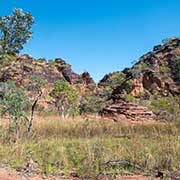
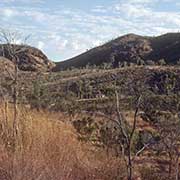
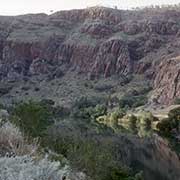
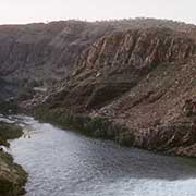
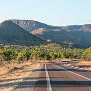
Kununurra, 100 kilometres from Wyndham, was established in 1963 as a service centre for the Ord River Development Scheme. It is over 3,000 kilometres from Perth via the Great Northern Highway and has a population of around 4,500. Just to the north of the town is Mirima National Park, also known as Hidden Valley; with its permanent water, it used to be an important meeting place for the local Miriwoong Aboriginal people. There are excellent walking trails in the sandstone gorges.
you may then send it as a postcard if you wish.
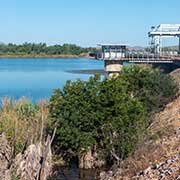
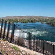
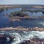

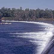
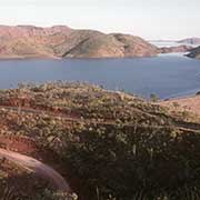
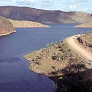
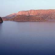
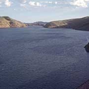
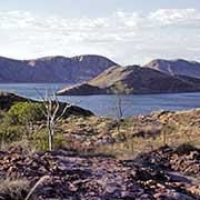
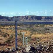
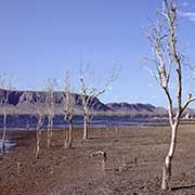
The remote northeastern corner of the State of Western Australia boasts Lake Argyle, an artificial lake created for the Ord Development River Scheme. This agricultural project seems to have paid off. The farmers who use the waters of Lake Argyle grow maise, peanuts, sorghum and sunflowers. Cotton was tried but was not successful. Fruit is also produced, especially melons that are exported to Southeast Asia.
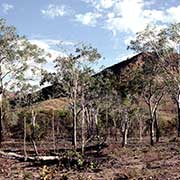
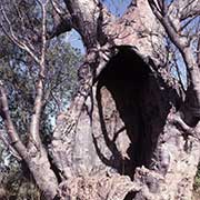
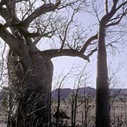
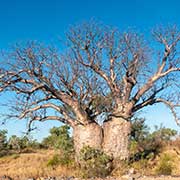
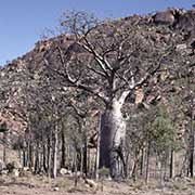
Along the Great Northern Highway leading south from Kununurra, the strangely shaped boab or baobab trees can be seen, typical of northern Western Australia; its grotesque bottle shape and spindly branches give the impression it is stuck upside-down in the ground, which is, in fact, a legend in Aboriginal tradition. These trees store water in their trunk; Aboriginal people sometimes carve the hard fruits. From Kununurra it is 200 kilometres south of Warmun Community (Turkey Creek), 162 kilometres north of Halls Creek and just north of Purnululu (Bungle Bungles) National Park.