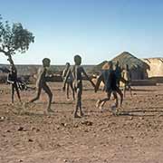
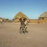
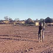
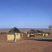
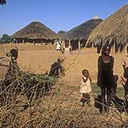
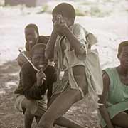
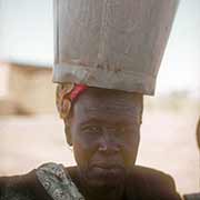
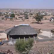
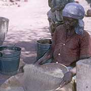
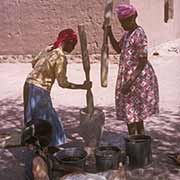
Photos of Gaborone and the south east, Botswana


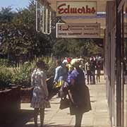
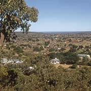
Gaborone and the south east
you may then send it as a postcard if you wish.
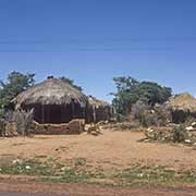
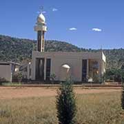
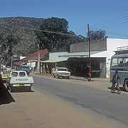
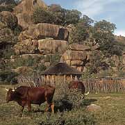
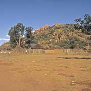
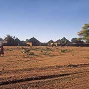
Lobatse, 70 kilometres south of Gaborone, is a town of around 30,000 people and, upon independence, was another possible candidate for the country’s capital; it had an abattoir, a mosque (serving Indian workers) and 5 kilometres of bitumen road, the only stretch in the country. While Gaborone became the seat of the Government, Lobatse was selected as the seat of the judicial system. About 50 kilometres northwest of Lobatse is Kanye, home to the Bangwaketse people, one of the largest growing villages in Botswana and the administrative centre of the Southern District, with a population of over 45,000. It was established in 1790 by Makaba, the paramount chief of the Ngwaketse, after a battle he lost with the Bakwena (another Tswana-speaking group living further north). About 32 kilometres north of Kanye is the village of Moshupa (Mosopa), with around a population of 20,000. The people of Moshupa are called the Bakgatla-ba-ga Mmanaana. A unique sight is huge mountain outcrops, rocks balanced on top of each other.
Almost 60 kilometres further north is Molepolole, the capital of the Kweneng district and one of the largest traditional villages in Africa with a population of about 70,000 people: these are the Bakwena people, who moved into the area in 1864. Molepolole is on the road leading from Gaborone to the Central Kalahari and about 60 kilometres to the northwest of Gaborone. And about 37 kilometres northeast of Gaborone is Mochudi, one of the larger villages in Botswana, in Kgatleng District, the Bakgatla tribal region. It has a population of around 45,000 people and was settled by the Tswana people in 1871. It lies several kilometres from the main Gaborone–Francistown road.