Photos of Botswana’s Central District, Botswana


Botswana’s Central District
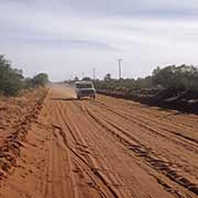
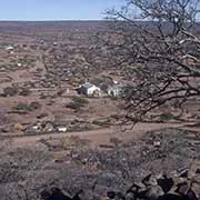
In the east of the country, the main road in Botswana leads from its capital, Gaborone, to its second city of Francistown, 433 kilometres away. After almost 200 kilometres, the town of Mahalapye is reached, in the Central District. It is the largest and most populous part of the country, with an area of 14,2076 km². Mahalapye, located on the Tropic of Capricorn, now has about 41,000 inhabitants. After another 75 kilometres further north, Palapye is reached, a fast-growing town with almost 37,000 inhabitants. The Bamangwato people, under Kgosi Khama III, are widely believed to be the first people to have settled near present-day Palapye. Their capital was the settlement of Phalatswe, also called Old Palapye, and was situated at the western end of the Tswapong Hills.
you may then send it as a postcard if you wish.
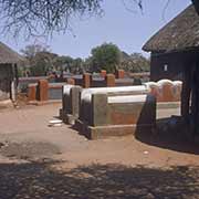
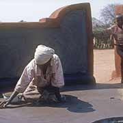
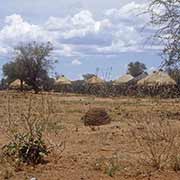
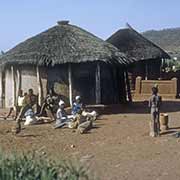
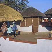
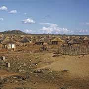
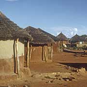
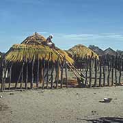
From Palapye, it is 46 kilometres west to Serowe, the capital of the Central District and famed as Botswana’s largest village with a population of around 60,000. It is the centre for the Bamangwato people in the early part of the 20th century and the birthplace of two of Botswana’s Presidents. In 1903, Chief Khama III founded the town, the kgosi (meaning chief or king) of the Bamangwato people of Bechuanaland (now Botswana). He made his country a protectorate of Great Britain to ensure its survival against Boer and Ndebele encroachments. His grandson was Seretse Khama, who became the first president of Botswana.
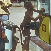
The second-largest city in Botswana, Francistown now has over 100,000 inhabitants (and over 150,000 for its agglomeration). It is 90 kilometres from the border with Zimbabwe. Francistown was founded in 1897 by the Bakalanga, a people related to Shona of nearby Zimbabwe, as a settlement near the Monarch gold mine and named after Daniel Francis, an English prospector from Liverpool. It is now an important city, a transport hub with agriculture and mining, producing cobalt, copper and nickel.
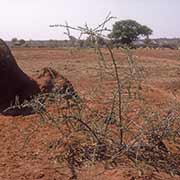
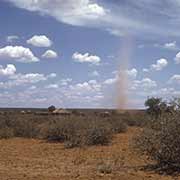
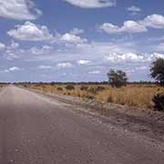
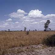
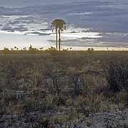
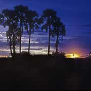
From Francistown, an almost 490-kilometre long road leads west to Maun, on the Okavango Delta. After 190 kilometres, it passes through Nata, a village of nearly 4,200 people and adjacent to the Makgadikgadi Pan, a salt pan situated in the middle of the dry savanna of north-eastern Botswana, one of the most extensive salt flats in the world.