Photos of Mawlamyine, Capital of Mon State, Myanmar


Mawlamyine, Capital of Mon State
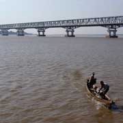
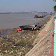
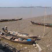
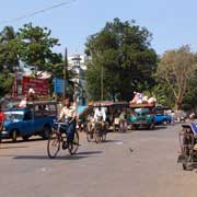
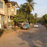
Mawlamyine (or Mawlamyaing) is the fourth largest city in Myanmar and the capital of Mon State. Formerly known by its English name Moulmein, it served as the capital of British Burma from 1827 to 1852 and was a major port for teak, situated at the mouth of the Thanlwin (Salween) River. It is 300 kilometres south east of Yangon and has a population of around half a million.
you may then send it as a postcard if you wish.
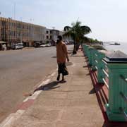
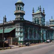
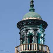
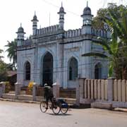
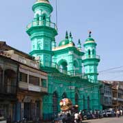

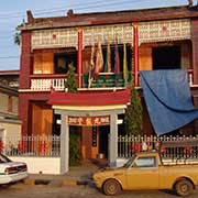
During the colonial times there was a large Anglo-Burmese community here, a result of relations between British and other Europeans and indigenous peoples of Burma, who mainly worked in the rubber plantations. Most have now left the country. There are also Muslim peoples, as is evident in the three mosques in the city; there is also a Chinese temple and a Baptist church.
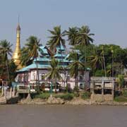
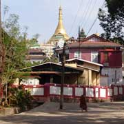
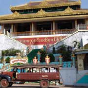
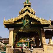
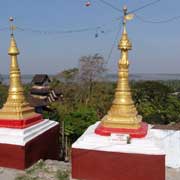
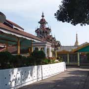
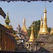
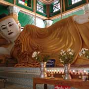
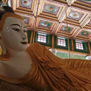
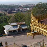
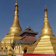
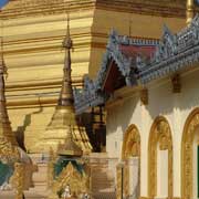
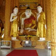
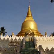
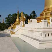
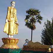
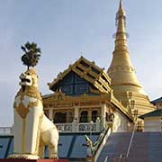
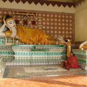
But the most impressive sight is a complex of five separate monasteries on the hills in the city's east. These are built in typical Mon style with covered walkways between the various shrine buildings, a large reclining Buddha image in Kyaikthanlan Paya and many golden stupas and statues.