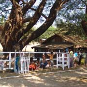
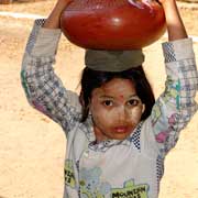
Photos of Mon State - homeland of the Mon, Myanmar

Mon State - homeland of the Mon
The first identifiable civilisation of Myanmar was that of the Mon people, who probably originated in eastern India and migrated between 3000 to 1500 BCE, settling first in southern Thailand around the 6th century CE and then moving into the Irrawaddy delta, southern Myanmar. They converted to Theravada Buddhism and used the Indian Pali script. In the 9th century they founded the cities of Bago (Pegu) and Thaton and dominated all of southern and south eastern Myanmar.
you may then send it as a postcard if you wish.
In 1824 the British conquered Lower Burma in the First Burmese War and Mon assisted the British, who promised leadership after Burmese defeat. Mons who lived in Siam (Thailand) returned, but the promises were never fulfilled. When Burma was at the threshold of independence in 1947, the Mon demanded self-determination, but this was refused, the Burmese army moved into areas claimed by Mon nationalists and a civil war followed with Mon separatists. The Mon also fought the Karen over control of border crossings into Thailand. In 1974 Mon State was formed out of areas in the Thaninthayi (Tenasserim) and Bago (Pegu) Divisions, partly to neutralise separatist demands. Although a cease fire has existed since 1995 and the Mon Unity League was founded in 1996, the Tatmadaw (army) has continued to operate in the area and there have been accusations of massive human rights violations.
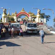
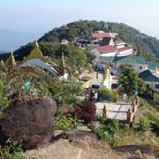
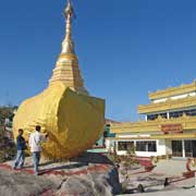
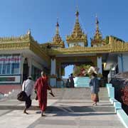
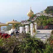
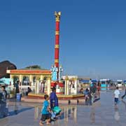
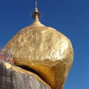
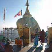
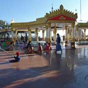
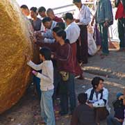
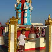
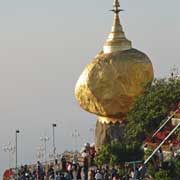
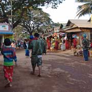
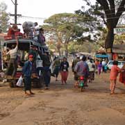
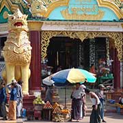
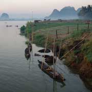
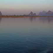
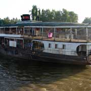
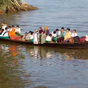
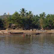
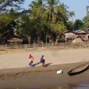
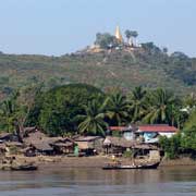
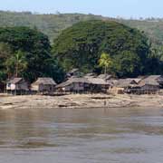
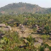
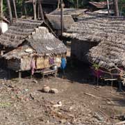
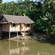
Mon State now has an area of 12,150 km² and a population of almost 3 million, with 500,000 in Mawlamyine, the state capital. The Thanlwin (formerly called Salween) River is still an important route for large ferries between Mawlamyine and points north. The best known site in the state is probably the balancing boulder stupa, Kyaiktiyo (Golden Rock), an important pilgrimage site. The small stupa is 7.3 metres high and sits atop a large boulder, covered in gold leaf. A road, quite steep in parts, leads up a hill, though an elaborate gate and past various religious buildings to a marble floored plaza, with religious iconography and commerce easily mixing. Only men may walk up to the boulder and apply gold leaf to it; according to legend, the boulder is so delicately balanced because a hair from the Buddha is in the stupa. Visitors who are unable or unwilling to walk up the road may be carried in a chair, attached to wooden poles and hauled up by four men.
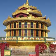
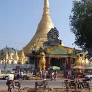
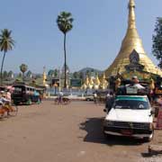
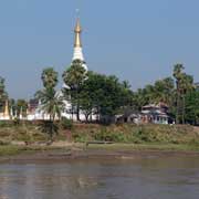
About halfway between Mawlamyine and Kyaktiyo is Thaton, which was the capital of a Mon kingdom with the same name that ruled Lower Burma between the 9th and 11th centuries. Nowadays not much is left of the ancient Thaton, as a modern town has arisen in its place. It has a monastery with a gilded stupa, in front of the bus station.