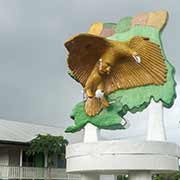
Photos of The North-central districts of Suriname


The North-central districts of Suriname
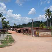
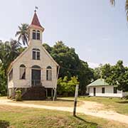
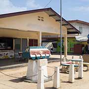
Just west of Paramaribo is the District of Saramacca, originally an area of small family owned farming communities; its capital is Groningen, the site of a fort that was built here in 1790, and named by Governor Jan Gerhard Wichers after his birthplace, the Dutch city and province of Groningen. In 1845 emigrants from Groningen, Netherlands, settled here. but nearly 200 died of typhus and the settlement was a failure. The town only began to grow after 1960.
you may then send it as a postcard if you wish.
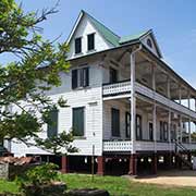
Around that time the East-West Corridor, a road linking Albina via Paramaribo to Nieuw Nickerie was built. Recently large agricultural projects have begun to emerge, primarily geared to the production of bananas and rice. The district is known for its birds, with ornithologists and birdwatchers coming from all over the world to study and admire Saramacca's toucans, parrots and cocks-of-the-rock. The name "Saramacca" also refers to a group of Maroons who established communities along the Saramacca River south of the district, having fled slavery. West of Saramacca, across the Coppename river, is Coronie, a mainly agricultural district, with many coconut and rice plantations. Its capital city is Totness, that started as a Scottish settlement, which may explain its English sounding name.
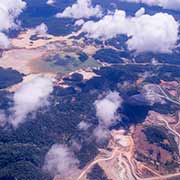
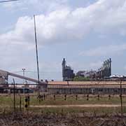
Just south of Paramaribo is the small agricultural district of Wanica and south of that is Para, that has been for long the mining and forestry centre of Suriname, with many large bauxite mining operations operating. The Paramaribo Alumina Refinery in Paranam, run by Alcoa Corporation, was an important source of income for the government; however, the alumina refinery and bauxite mines were fully curtailed in November 2015 amid a limited bauxite supply and unfavourable market conditions and are now permanently closed, a major blow to the economy of Suriname.
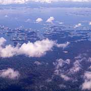
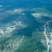
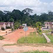
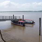
South of Para is Brokopondo district the site of a large reservoir, the Brokopondo Reservoir, officially named Professor Doctor Ingenieur W. J. van Blommestein Meer which produces hydroelectric power that provides approximately half of the domestic electrical need. It has a surface area of approximately 1,560 km², depending on the current water level and is one of the largest reservoirs in the world, flooding nearly one percent of the country. It was created by constructing Afobaka Dam across the Suriname River, about 110 kilometres south of Paramaribo, between 1961 and 1964. It has been criticised: Brokopondo inundated roughly 160,000 hectares of biologically valuable tropical rainforest, while providing only 180 megawatts of capacity. And many Maroon people had to leave their homes that were flooded when the reservoir filled up; There is a resettlement village near Brownsweg, to house some of those people. Nearby is the Rosebel Gold Mine, jointly owned by IAMGOLD and the Government of Suriname.