Photos of Lubombo District, Swaziland's East


Lubombo District, Swaziland's East
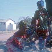
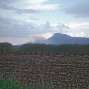
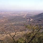
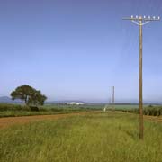
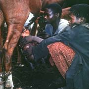
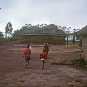
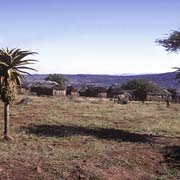
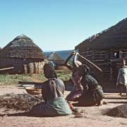
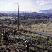
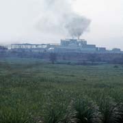
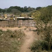
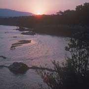
The Lubombo District comprises of "Lowveld", rising up to the Lebombo mountains along the eastern border with Mozambique. In the north are the sugar fields and mill at Mhlume and the small town of Tshaneni, while in the south is the town of Big Bend, with another sugar plantations and mill; it is situated on a big bend in the Lusutfu (Great Usutu) river, hence its name. Nearby are small traditional homesteads like Sencandweni.
you may then send it as a postcard if you wish.
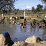

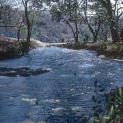
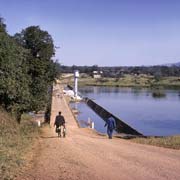
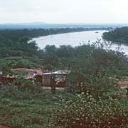
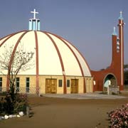
A bridge crosses the Lusutfu River at the small town of Siphofaneni; there are warm sulphur springs here where children bathe and women do their washing. Further to the south east, in the middle of the dry "Lowveld", is the surprising sight of St Philips Church, with an Italian style cupola (although, it was said, inspired by the traditional Swazi beehive huts) built by the indomitable Father Edoni, an Italian Catholic missionary. There was also a Primary and Secondary school here.
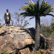
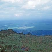
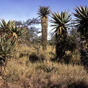
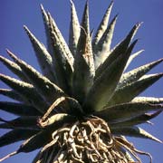
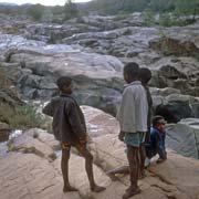
The main town of the district is Siteki (formerly Stegi), west of the Lebombo Mountains near the border with Mozambique. South of Siteki, along a road that follows the mountain range, near the waterfall of Mpopomeni, ancient cycads can be found: this plant is regarded as a living fossil.