Photos of Manzini District, Swaziland's Centre


Manzini District, Swaziland's Centre
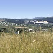
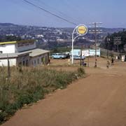
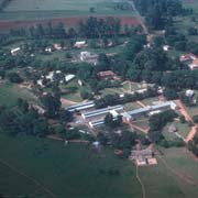
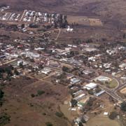
Manzini used to be the largest town in Swaziland, situated in the centre of the country, but presently has a population of around 73,000, making it second largest after Mbabane. During the time of administration by the South African Republic (Transvaal) and at the time of the Anglo-Boer War, at the end of the 19th Century, is was the seat of administration and known by its Afrikaner name of Bremersdorp.
you may then send it as a postcard if you wish.
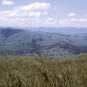
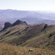
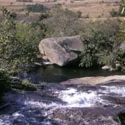
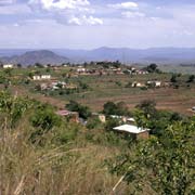
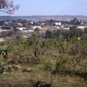
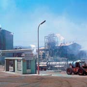
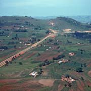
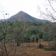
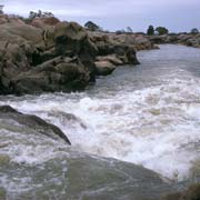
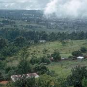
The town is about 36 kilometres to the south east of the capital Mbabane, in the "Middleveld" at an altitude of about 600 metres. About 10 kilometres south west from Manzini is Matsapha, the site of Swaziland's international airport and an industrial estate which had, among others, a fruit cannery, a brewery (Swazi Lager beer in the seventies!) and a tractor factory. Just north of there, across the highway, is Kwaluseni, the site of Swazi National High School, possibly the best performing school in the country. Nearby are the Royal villages of Lozitha and Zombodze and near Zombodze is Mtilane Falls, a scenic waterfall on the river with the same name.
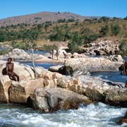
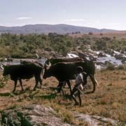
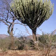
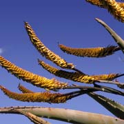
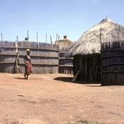
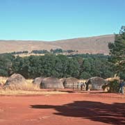
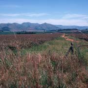
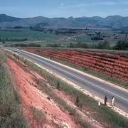
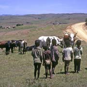
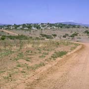
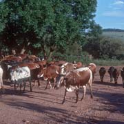
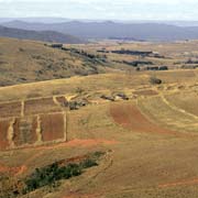
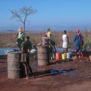
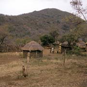
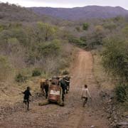
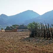
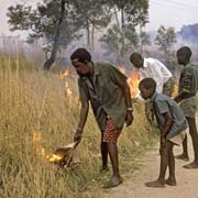
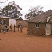
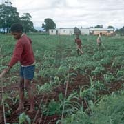
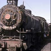
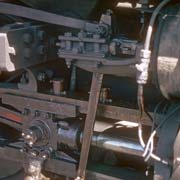
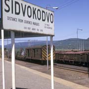
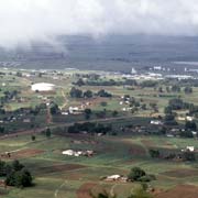
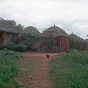
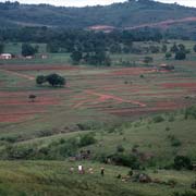
Around Manzini are many homesteads and farms of the Swazi and young boys can be seen looking after their father's cattle along the roads. About 20 kilometres south of Manzini is the small town of Sidvokodvo which has a railway station on the line that leads from the iron mine at Ngwenya, in the west of the country, to Maputo harbour in Mozambique. The train only transports iron ore. The land here becomes the "Lowveld", lying lower than the "Middleveld" where Manzini is situated. It is generally drier here, with vegetation like cactus-like aloes with their thick, thorny leaves. Swazi women would rub the bitter aloe sap on their breasts if they wanted to discourage their children from suckling.
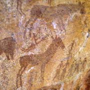
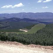
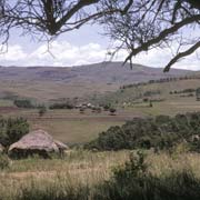
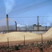
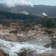
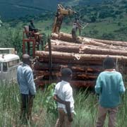
Due south of Mbabane, crossing into Manzini District and the small town of Mhlambanyatsi, the road enters the Usutu Forest, an artificial forest of 65,000 ha, making it one of the largest planted forests in the world. Usutu Forest is mainly pine, planted to supply the Usutu Pulp Mill in the town of Bhunya. In 2010 however the mill closed in response to market conditions and forest fire damage. Not far from Bhunya, at Sandlane on the South African border, rock paintings can be found made by the Bushmen, who used to live here long ago, before the ancestors of the Swazi arrived. The paintings are of hunting scenes and animals; quite a few of those galleries can be found in the country.
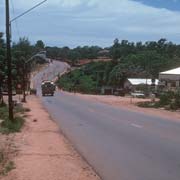
The road leads from Bhunya to Luyengo, the site of a Teacher Training College, past the Usutshwana river and the hills of Nqabaneni. Not far from there is Malkerns with its citrus and pineapple plantations and Mahlanya market where those fruits can be bought. The town of Mankayane is further south and beyond that, at Mgazini, the road crosses into the Shiselweni District.