Photos of Agia Napa and Deryneia, Famagusta District, Cyprus


Agia Napa and Deryneia, Famagusta District
The Famagusta District, one of the six districts of Cyprus, is now mostly under Turkish control. Its capital, Famagusta, or, in Greek, Ammochostos (Αμμόχωστος), lies just north of the United Nations Buffer zone in the de facto Turkish Republic and has been renamed “Gazimağusa”.
you may then send it as a postcard if you wish.
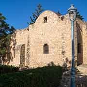
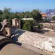
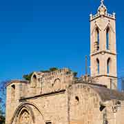
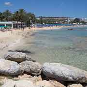
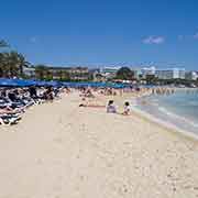
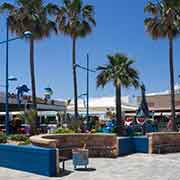
Agia Napa, or, in Greek, Ayia Napa (Αγία Νάπα) is a Mediterranean resort town on the southeast coast of Cyprus and is famous for its beaches. The Venetians built the Medieval Monastery of Agia Napa like a Medieval Castle around 1500 CE. Its name dates from the Byzantine period; “Ayia” is holy, and “Napa” is an archaic word for wooded valley. It was built where, during the 7th-8th centuries, an icon of the Virgin Mary was hidden in a cave. It is now a museum, and the complex, abandoned in 1758, was restored in 1950.
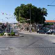
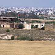
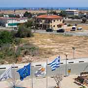
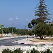
The village of Deryneia lies only two kilometres south of Famagusta and, since the Turkish invasion of 1974, 75% of its terrain lies across the UN Buffer zone in the Turkish area. The “Cultural Centre of Occupied Famagusta” has displays and views across the “Green Line”, the de facto border.