Photos from the Pinnacles to Carnarvon, Western Australia

From the Pinnacles to Carnarvon
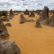
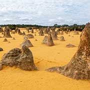
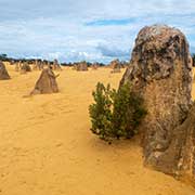
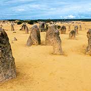
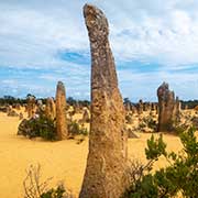
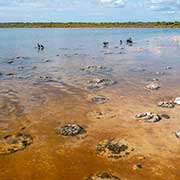
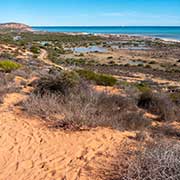
About 190 kilometres north of Perth is Nambung National Park, featuring the “pinnacles”, natural limestone structures formed approximately 25,000 to 30,000 years ago after the sea receded and left deposits of sea shells. Over time, coastal winds removed the surrounding sand, exposing the pillars to the elements. Some stand as high as 3.5 metres. Lake Thetis, a saline coastal lake near Cervantes, is only about 20 kilometres further north. It features thrombolites, microbial formations closely related to stromatolites but not that ancient: thrombolites are believed to be “only” over 3,000 years old.
you may then send it as a postcard if you wish.
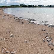
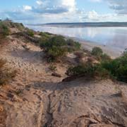
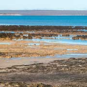
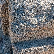
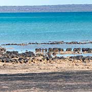
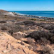
Following the North West Coastal Highway, passing Port Denison and Geraldton is Port Gregory with its Hutt Lagoon Pink Lake; the water displays a pink colour when algae living in it are exposed to sunlight and produce beta-carotene, a red pigment. Not much further north is Kalbarri National Park, and about 250 kilometres further is the Shark Bay area with Hamelin Pool, a bay with sea water twice as salty as usual due to a bar across the entrance of the bay. It is one of only two places on earth with conditions for the existence of stromatolites, structures built mainly by cyanobacteria. Stromatolites, called ‘living fossils’, have been at Hamelin Pool for 3.5 billion years and are the oldest living lifeforms on earth. There is also a quarry of shells, called Hamelin cockles, compressed to form a solid mass; this was cut into blocks and used in some of Shark Bay’s historic buildings.
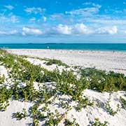
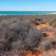
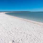
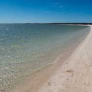
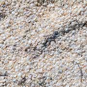
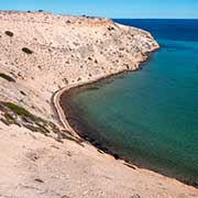
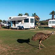
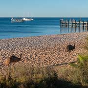
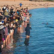
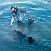
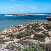
Following the Shark Bay Road, you come past Shell Beach, covered with the shells of Fregum cockles that can survive in this hypersaline environment to a depth of 7–10 metres. Nearby is François Peron National Park on the peninsula, jutting into Shark Bay, with the town of Denham and the Monkey Mia Conservation Park. A caravan park with emus wandering there and on the beach, and a daily dolphin show at the jetty, where Park Rangers feed up to four dolphins a small amount of fish each day (less than 10% of their total daily intake) to ensure they continue to behave and hunt naturally, but people can see them close-up.
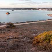
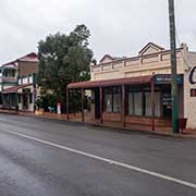
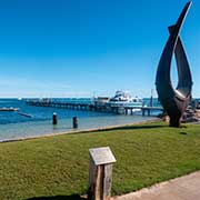
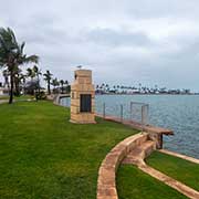
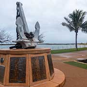
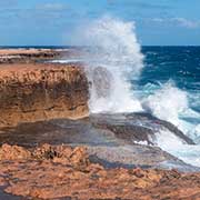
North of the Shark Bay World Heritage area lies Carnarvon, approximately 900 kilometres north of Perth, at the mouth of the Gascoyne River. On Olivia Terrace are two memorials commemorating a naval battle in 1941 somewhere west of Carnarvon, between the H.M.A.S. Sydney and the German ship Kormoran. Both ships sank, and all 645 crew on the Sydney perished, but 317 of the Kormoran crew of 397 were rescued. The rugged coast at Point Quobba, about 74 kilometres north of Carnarvon, has spectacular blowholes.