Photos of Chuuk Lagoon, Micronesia

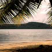
Chuuk Lagoon
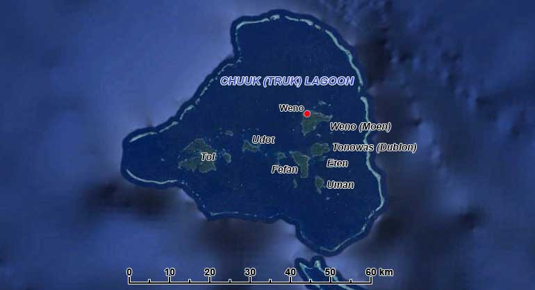
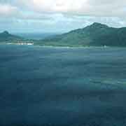
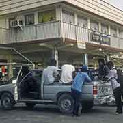
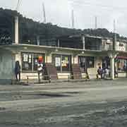
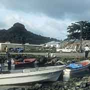
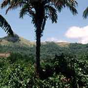
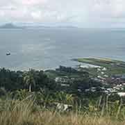
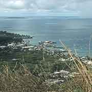
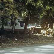
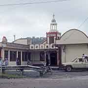
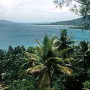
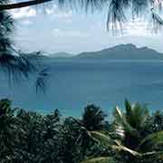
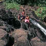
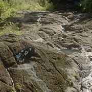
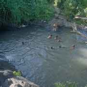
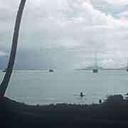
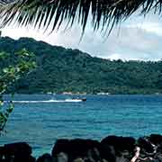
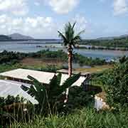
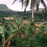
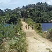
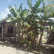
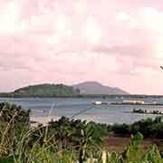
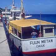
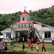
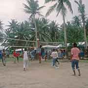
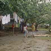
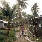
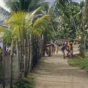
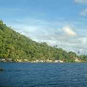
Chuuk (formerly Truk) Lagoon is a large atoll in the making, with a protective reef, 225 kilometres around, enclosing a natural harbour with an area of 2,130 km². In the lagoon are eleven significant islands with a total land area of 93 km² and a population of around 36,000. The main island is Weno (formerly Moen) with the largest town in the FSM, also called Weno; it has almost 14,000 inhabitants and is the capital of the State of Chuuk that also includes the outer island groups to its north, west and south. Mount Tonaachaw (229 metres) rises behind the town and to its east is Wichon Falls on the Wichen river.
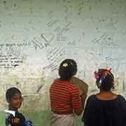
you may then send it as a postcard if you wish.
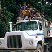
Archaeological evidence indicates some of the islands in the lagoon had some human settlement from around the second century BCE and around the 14th century CE the islands were widely settled. The tribes living of the different islands in the lagoon were warring among themselves in the late 19th century, when the Spanish, who claimed the islands were attempting to establish control. By that time there were also a few foreign traders and missionaries living there. But the Spanish never managed to assert control and tribal violence continued, also after the German Empire had bought the Caroline Islands in 1899. During the First World War, the Japanese navy seized the German possessions and after the war Japan took over under their South Seas Mandate.
Truk Lagoon became the main base of the Japanese Empire in the South Pacific during the Second World War. It was heavily fortified and considered the most formidable of all Japanese strongholds in the Pacific. There were airstrips, bunkers, roads and trenches on the islands in the lagoon, all protected by gun and mortar emplacements. A large portion of the Japanese fleet was based here, with battleships, cruisers, aircraft carriers, submarines; the administrative centre was on the island of Dublon (now Tonowas). But on 17 February 1944 American forces, operating from the Marshall Islands, launched an attack against Truk Lagoon. Named Operation Hailstone, it lasted three days, and when it was over, 12 warships, 32 merchant ships and 275 aircraft had been destroyed; Truk Lagoon was considered “the biggest graveyard of ships in the world”.
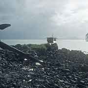
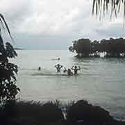
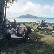
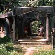
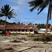
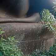
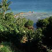
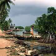
Nowadays the lagoon is a favourite location for scuba divers who come to see the many, virtually intact, sunken ships, lying in clear water, many less than 15 metres below the surface and now encrusted in coral, its holds still full of military hardware. And on the island are still the remains of buildings from the Japanese days, like the old hospital and the concrete airbase for flying boats on Tonowas (Dublon). The Roman Catholic Xavier High School is housed in a Japanese bunker, that was part of their Communication Centre, on Weno island. There are still many traces of the war, like Japanese gun emplacements, around the island.