Photos of Pohnpei, Micronesia

Pohnpei island
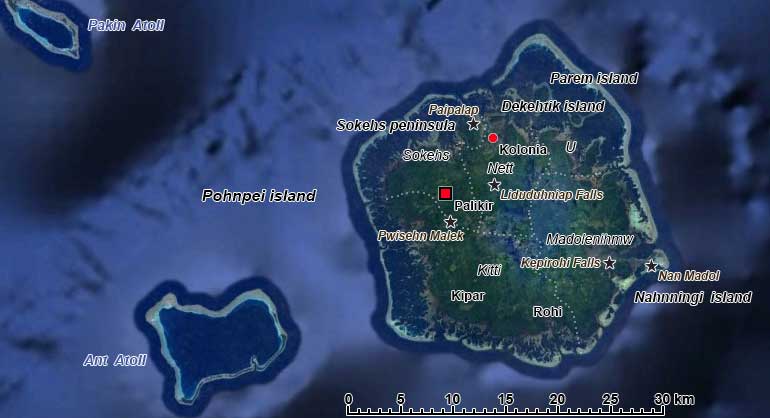
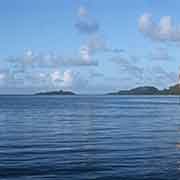
Pohnpei (known as Ponape until November 1984) is the main island of the Senyavin islands, that includes the small atolls of Pakin and Ant. The group was named after his ship by the Russian explorer Fyodor Litke, who visited and described the islands early 19th century. Pohnpei is the main island of the state with the same name, that also includes five small atolls to its south. The total land area of the state is 371.6 km² and it has a total population of 36,200. Its main town is Kolonia.
you may then send it as a postcard if you wish.

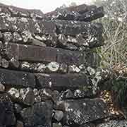
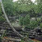
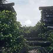
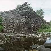
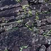
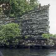
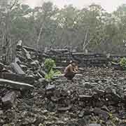
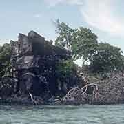
It is assumed the island was settled around 3,000 years ago, but the earliest archaeological remains date to 840 CE. From around 1100 CE an organised government united the people of the island, under rulers named Saudeleur (Lord of “Deleur”, an early name of the island. According to legend, they were of foreign origin. Their ruler became increasingly oppressive, and it was during this time that the megalithic city of Nan Madol was built, the ceremonial and political seat of the Saudeleur Dynasty. Construction with massive basalt blocks started around 1180-1200 CE on artificial islands on the south-east coast. According to Pohnpeian legend, Nan Madol was constructed by twin sorcerers, Olisihpa and Olosohpa, who levitated the huge stones with the aid of a flying dragon. Olosohpa became the first Saudeleur. It seems more likely bamboo rafts transported the blocks from the Sokehs region - still a fantastic feat.
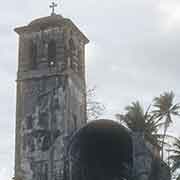
The Saudeleur Dynasty period ended with the invasion of Isokelekel, another semi-mythical person, probably coming from Kosrae to the east, around 1628. He instituted a more decentralised system of Nahmwarki chiefs, a system still in existence. Pohnpei was divided into five kingdoms: Sokehs, Kitti, Madolenihmw, U and Nett, still existing as municipalities. The first European visitors were Spanish navigators who didn’t land but in the 19th-century whalers and traders arrived, followed by beachcombers and escaped convicts. In 1837 the first Catholic missionary arrived, followed by American Protestant missionaries in 1852. Imported diseases had reduced the island’s population from 20,000 to about 8,000. After a smallpox epidemic, brought by a sailor in 1854, only 2,000 people remained.
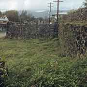
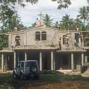
Pohnpei island was under relatively weak Spanish rule from 1886 to 1899 under the name of Ascension, and the Spanish colony in the north of the island was called Santiago de l’Ascension. The Spaniards seemed to be mostly concerned with efforts to spread Catholicism and clashed three times with the local population, also because they had taken land for their colony, tried to reconvert Protestants and instituted forced labour. The Spanish used Filipino troops that were often no match for the Pohnpeians. They built Fort Alphonse III in Kolonia; part of the wall of which is still visible.
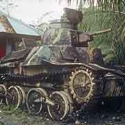
From 1899 to 1914, the Germans ruled Ponape, often with a heavy hand. In 1910, the Sokehs rebellion took place when the Germans forced men to build a road around Sokehs Island, west of “Die Kolonie”. The German governor was killed by the rebels and warships subsequently bombed Sokehs. Seventeen insurgents were executed, and the rest of the population of Sokehs was exiled to Yap and Palau. In 1914 Japan took over under their South Seas Mandate; the islands were developed, education and health care were good, although by the end there were more Japanese and Koreans than Micronesians. Before the war, the streets of Kolonia had Japanese names, but during the war, it was bombed and completely destroyed. The Japanese had built reinforcements as they expected Americans to invade, but they were only shelled and bombarded from the sea and the air. In 1945 the Americans evacuated all Japanese.
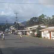
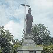
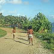
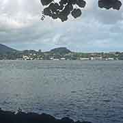
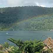
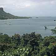
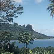
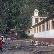
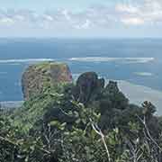
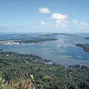
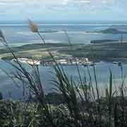
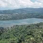
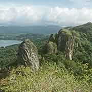
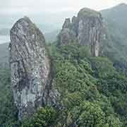
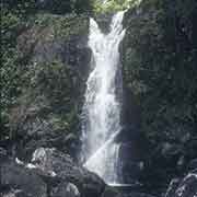
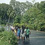
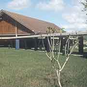
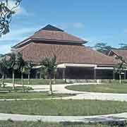
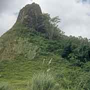
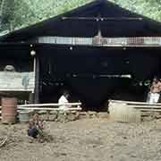
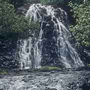
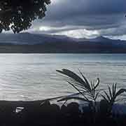
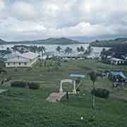
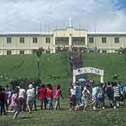
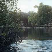
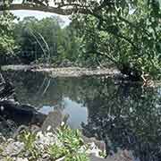
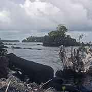
Kolonia now is a little town along Sokehs Harbour. Sokehs Island, across the bay, is now a peninsula (Deke Sokehs), connected to the main island by a causeway and a field of mangroves. A Capitol building was built in Palikir, 9 kilometres to the south-west: that is now the capital of the Federated States of Micronesia. Pohnpei is an attractive island, with jungle, waterfalls, hills, trekking possibilities and coral reefs to dive on and of course the stunning ruins of Nan Madol.