Photos of Central Outback Queensland, Australia


Central Outback Queensland
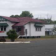
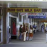
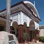
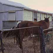
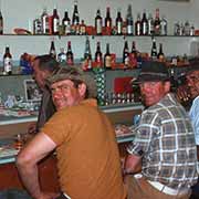
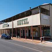
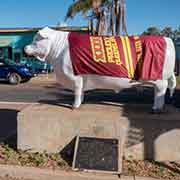
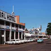
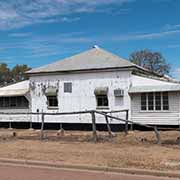
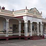
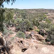
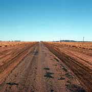
From Rockhampton near the Capricorn Coast, the Capricorn Highway leads 690 kilometres to the west into Central Outback Queensland. About 270 kilometres along the road is Emerald, its name taken from the emerald and other precious stone deposits in the area. Here the Capricorn Highway crosses the Gregory Highway, leading north to Charter Towers and south to Springsure. Heading west, you pass small outback towns like Alpha, Jericho and Barcaldine; the latter is known as “Garden City of the West” because of its citrus fruits orchards, irrigated by water from good artesian bores. The town was established in 1886 and was the centre of a strike by shearers. This event eventually led to the formation of the Australian Labor Party. The Tree of Knowledge, under which the strikers met during the shearer’s strike of 1891, sadly was poisoned in 2006. A wooden monument representing its leaves had been built around the remains of the tree.
you may then send it as a postcard if you wish.
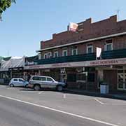
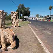
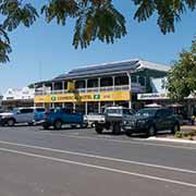
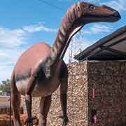
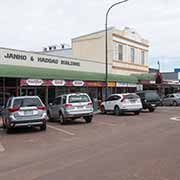
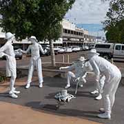
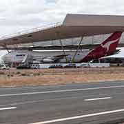
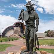
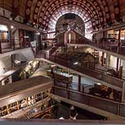
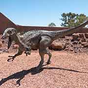
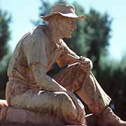
Longreach is known for its Stockman’s Hall of Fame and the birthplace of the Queensland And Northern Territory Air Service, or Qantas, Australia’s national airline, in 1921, with a flight to Winton. It is now a town of 3,500 inhabitants and after Mount Isa, the region’s largest town. The area, traditionally belonging to the Iningai people, was settled in the 1870s. The city, named for the “long reach” of the Thomson River, was gazetted in 1887. The geographical centre of Queensland is in the small town of Muttaburra, 120 kilometres north of Longreach. The skeleton of a plant-eating dinosaur that lived between 100 and 98 million years ago was found in 1963 in this area by Doug Langdon, a local grazier; it was named Muttaburrasaurus Langdoni, and a life-size model of it is displayed here.
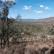
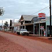
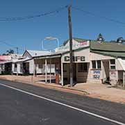
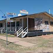
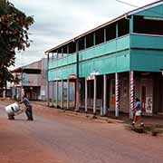
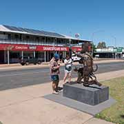
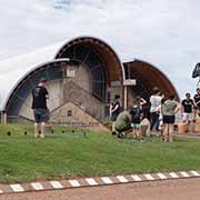
From Longreach, the Landsborough or Matilda Highway leads 175 kilometres north west to Winton, a real outback town of 1200 people, famous as the place where Banjo Paterson’s “Waltzing Matilda” was first publicly performed in 1895. He wrote the song at Dagwood Station, 140 kilometres northwest of Winton, where a shearer had committed suicide. This song has become almost like Australia’s unofficial national anthem. The Australian Age of Dinosaurs complex, 26 kilometres southeast of Winton, can be visited along the way. From Winton, the Matilda Highway continues 342 kilometres to Cloncurry, but another road, the Kennedy Developmental Road, loops to Mount Isa via Boulia. It is almost 380 kilometres to Boulia, and this stretch of road is also named the Min Min Way: it is famous for the “Min Min lights”, mysterious glowing lights that many people claim to have seen during the night. It is said to resemble a fluorescent ball floating through the air. It got its name from the Min Min Hotel near Boulia, first seen above the nearby graveyard. The little town of Boulia is on the Burke River, where the explorers Burke and Wills refilled their water bags in 1861 on their ill-fated expedition. Pastoralists later settled on these lands belonging to the Pitta-Pitta Aboriginal people, and the town was established in the 1870s.